Safer lanes for bicyclists entering exiting the Brooklyn bridge in Manhattan are under construction will prevent accidents and reduce injury
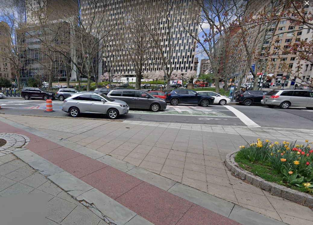
 The bike lane that exits on the Brooklyn Bridge and heads north on Center Street abruptly stops at the intersection of Worth Street and puts riders at high risks of dangerous bicycle accidents. The area is so dangerous that cyclists commuting regularly through this road nicknamed it “The Sluice” because crossing it is like entering an abattoir.
Not only the bike lane abruptly stops but also busy Court Houses located on both sides of the street, add to the chaos. The curbsides lanes are filled with placarded law enforcement and court cars and car services and taxis are constantly double parking, even sometime triple parking to drop customers going to court. Even experienced cyclists navigating this area are at high risk of getting injured in accidents and the many tourists taking a ride of the famous New York City landmark even more.
The DOT is well aware of the situation and a plan to end “the Sluice” was presented to Community Board 2 last March. This morning, an article in Street Blog confirms that work has indeed started to continue the actual Center Street bike lane North of Worth and up to Kenmare Street. The new protected bike lane will also help cyclists cross another high risk accident area around Canal Street.
Safety Improvement will also occur on the south side of the street: the existing unprotected (and often obstructed) bike lane on Lafayette will also be turned into a protected bike lane all the way down from Kenmare to the Brooklyn Bridge.
While these improvements will result in having only one car lane instead of two on Center Street between Worth and Canal and remove some parking spots, the hundreds of cyclists using the Brooklyn bridge daily will now be able to commute safely between Soho and Brooklyn which is a major improvement for cyclists and other micro-mobility device users.
Picture of the location of the intersection where the actual northbound bicycle lane ends: courtesy of Google Map
 New York Personal Injury Attorneys Blog


